Okay, I want to be able to simulate what the world would actually look like from a vantage point where you could see the whole world unwrapped like this.
I think unless you are up very high, most tall distant things are covered by buildings and mountains.
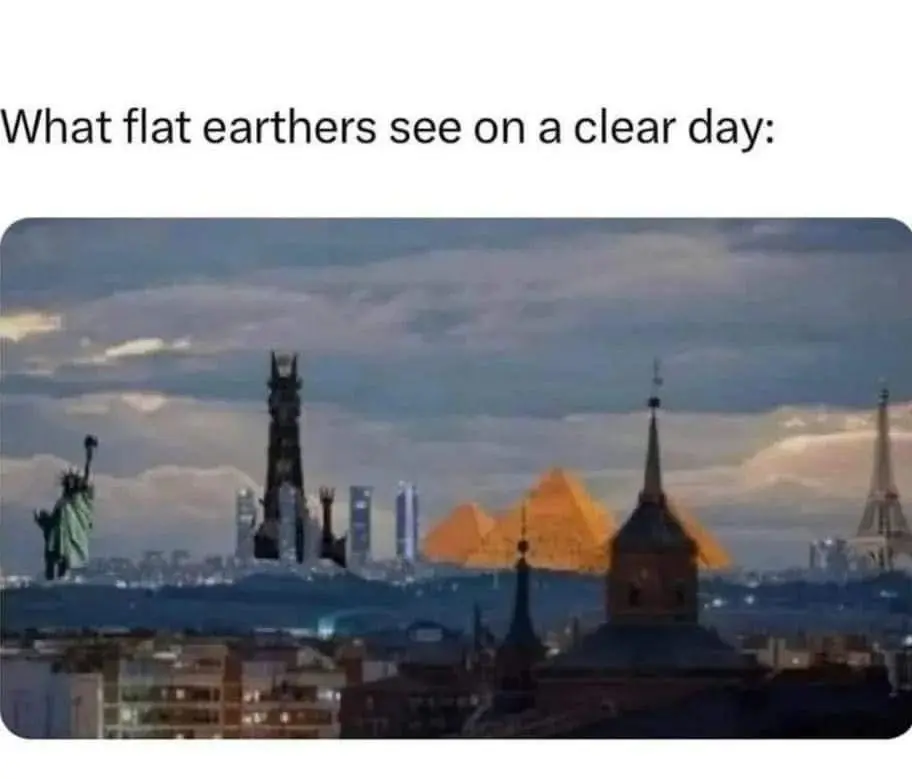
If you are in, say, the eastern part of cairo, you might be only 20km from the pyramids of giza. However if there was a normal sized house even just 1km away in the same direction, it would be big enough to cover the pyramids entirely.
Then there is also mountain ranges. Even if you were on top of the Burj Khalifa with a really good telescope, multiple mountains would block your view. You would need to be multiple Burj Khalifa’s higher up in the air to see the pyramids of Giza from there.
And then there’s clouds, fog, dust, smog and last but not least atmospheric scattering of light, obscuring things more and more the further away they are.
Ok I just spent 20 mins with an LLM and it got me setup with three Js and adding landmarks to a flat earth projection.
I’ve not the time nor inclination to take it further but happy to share a link to the code if someone else wants to expand on it.
I am a software developer and my curiosity was piqued and the LLM cured that, but happy to zip up the project.
Leaves a lot to be desired as it’s not what you would actually see and more a play on this meme where you can use the camera to set vantage point and see how things would align. We used cubes of various heights based on the landmark to represent landmarks so no crazy graphics.
Edit: Never ceases to amaze how many people downvote LLM mentions like they don’t have some utility. Bias is clearly showing. Like I could tackle this on my own, but do I want to spend hours doing something on a whim or 20 minutes with an LLM to get something functional with a little back and forth is well worth it imo.

Okay, I want to be able to simulate what the world would actually look like from a vantage point where you could see the whole world unwrapped like this.
I think unless you are up very high, most tall distant things are covered by buildings and mountains.
If you are in, say, the eastern part of cairo, you might be only 20km from the pyramids of giza. However if there was a normal sized house even just 1km away in the same direction, it would be big enough to cover the pyramids entirely.
Then there is also mountain ranges. Even if you were on top of the Burj Khalifa with a really good telescope, multiple mountains would block your view. You would need to be multiple Burj Khalifa’s higher up in the air to see the pyramids of Giza from there.
And then there’s clouds, fog, dust, smog and last but not least atmospheric scattering of light, obscuring things more and more the further away they are.
now i need this
Ok I just spent 20 mins with an LLM and it got me setup with three Js and adding landmarks to a flat earth projection.
I’ve not the time nor inclination to take it further but happy to share a link to the code if someone else wants to expand on it.
I am a software developer and my curiosity was piqued and the LLM cured that, but happy to zip up the project.
Leaves a lot to be desired as it’s not what you would actually see and more a play on this meme where you can use the camera to set vantage point and see how things would align. We used cubes of various heights based on the landmark to represent landmarks so no crazy graphics.
Edit: Never ceases to amaze how many people downvote LLM mentions like they don’t have some utility. Bias is clearly showing. Like I could tackle this on my own, but do I want to spend hours doing something on a whim or 20 minutes with an LLM to get something functional with a little back and forth is well worth it imo.